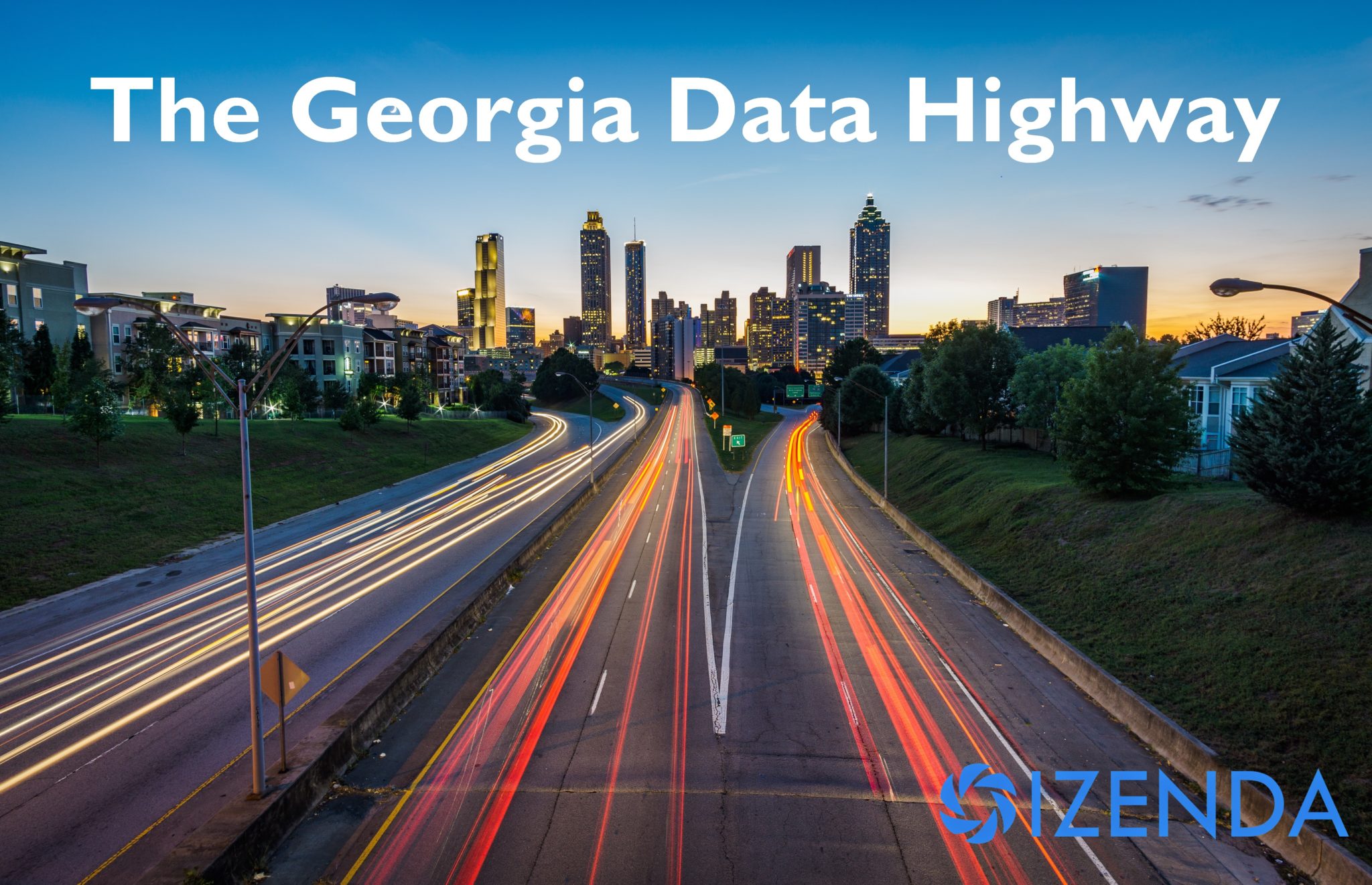
Here are some interesting facts about our home state of Georgia. We are the top producer of pecans, peanuts, and Vidalia onions. We have the world’s busiest airport. And our capital has 71 streets with a variation of the word “Peachtree” in their name.
We also have some of the worst traffic in the country. But one highway is trying to change that.
All those cars take a significant financial and environmental toll on both our state and our country. In fact, each year $277 billion is lost in the US due to vehicle crashes. And roughly 20% of land in the US is environmentally impacted by the presence of roads. A Georgia study found that an 18-mile stretch of I-85 in West Georgia emitted more than 5 million tons of CO2 every year.
So when we heard about that same stretch of highway being turned into a testbed for connected technology to fight congestion, improve safety, and cut down on pollution, we thought two things: Thank Goodness and Hooray for Data Analytics!

The Ray
The Ray is a stretch of I-85 located between LaGrange and West Point in West GA. It’s named after the late Ray Anderson, a pioneering green industrialist from Georgia. Since 2015, the Ray C. Anderson Foundation and the Georgia Department of Transportation have rolled out several green initiatives to improve both safety and sustainability.
In addition to having the state’s first solar-powered electric charging station, The Ray also houses the Wattway – the only drivable solar road in the US, and only the second in the world. The energy generated by the 50 m² road powers the Georgia Visitor Information Center adjacent to it.
And now, the project is looking to connected vehicle infrastructure and technology to continue its dedication to improving road safety and environmental sustainability.
The Ray and GDOT Partner with Panasonic
In a partnership with Panasonic, the Ray will leverage connected vehicle data along with GDOT data using Panasonic’s CIRRUS V2X platform. The platform allows for the sharing of important data between transportation network operation centers and vehicle information systems for sensing roadway conditions in real-time. Six roadside units supported by a 5G and 4G LTE wireless infrastructure will send speed, location, direction, and other vehicle data in real-time. With this data, The Ray and the GDOT hope to improve roadway safety, reduce traffic congestion, and improve organizational efficiency.
For example, the GDOT could see in real-time that 100 cars in the same area have turned on their windshield wipers pointing to inclement weather. 50 have lost traction with the road indicating hydroplaning. And two have deployed airbags likely due to an accident. With this information, department managers can inform drivers directly of potential risks in real-time through actions like phone alerts or roadway signs.

The Future of the Project
In addition to improving road safety, the program hopes to lead to the development of traffic management platforms that can be implemented in the highly-congested metro Atlanta area (YES PLEASE).
But the goal of the project is to do more than simply improve local traffic. According to The Ray’s President and founder Harriet Langford, the project’s ultimate goal is to save lives.
“Estimates show that in the next three years, we will have over 105 million connected vehicles “talking” to each other. This is an incredible opportunity for departments of transportation across the country to harness new streams of data to not only improve congestion and reduce carbon emissions but to save lives. We hope that by starting now, we’ll soon be able to predict crashes before they happen. That’s the ultimate goal.”
This test-drive of data management and analytics will likely be implemented at a statewide level. And as one of the first of its kind in the country, it will be an example to other states as they too eventually implement similar tools.
Izenda’s Take
As an embedded analytics platform, we’ve long touted the benefits of leveraging data for actionable insights. Throughout almost every industry vertical, our business intelligence software has helped organizations boost efficiency and improve decision-making.
And today, “new technology” is almost always synonymous with “more data” so the need for data management and analytics platforms will continue to grow. Izenda’s secure and scalable solution makes it ideal for emerging business needs and technologies. Learn more about our Dashboards & Reports then begin a risk-free trial today.
Keep Reading
End Climate Change By Sending Data to Space
The Open Data Movement – Evidence-Based Decision Making in Government